Spain holds largely stable and hot today, Friday 22 May 2026, but a developing upper low (Dana) is set to destabilise the far northwest. Expect afternoon showers and thunderstorms in Galicia spreading toward west Asturias; a few cells could produce hail.
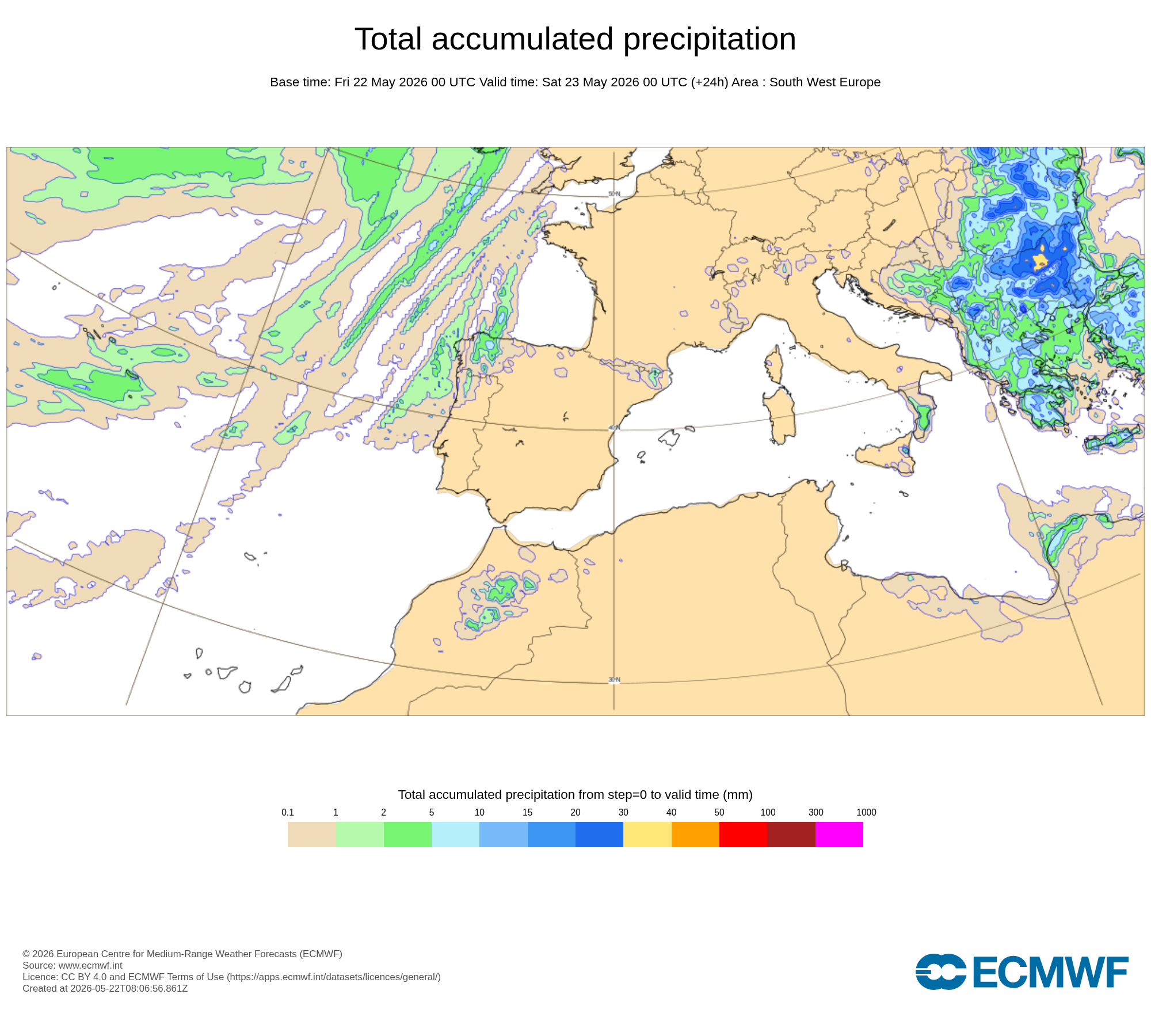 Today's rain and storm focus is over Galicia and nearby areas.
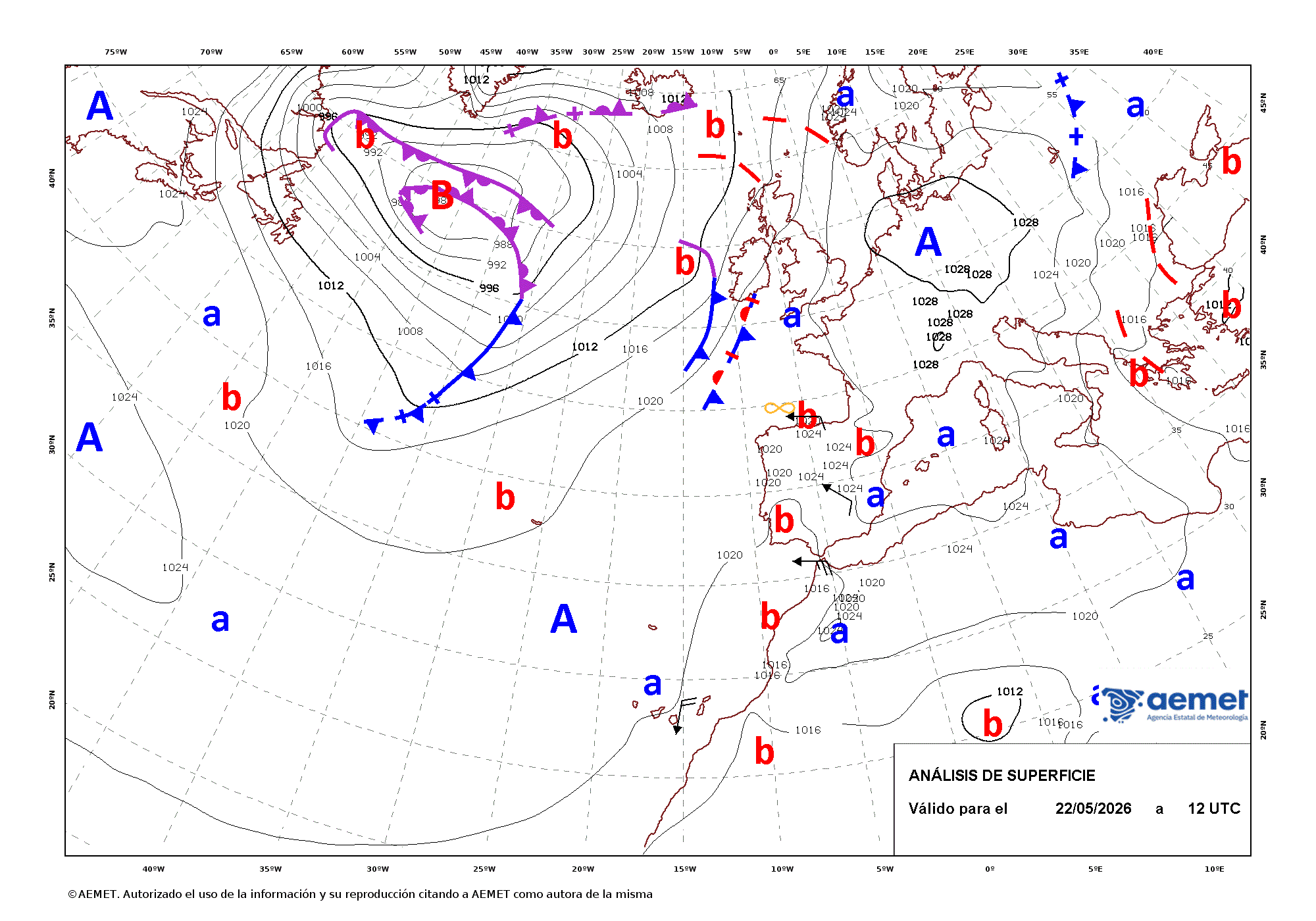 AEMET synoptic chart indicate haze in Galicia with ∞.
What to expect today
- Temperatures: A general rise, with hot highs around 34–36°C in the southwest quadrant and in some northeastern depressions and interior Cantabria.
- Northwest: Afternoon storms in Galicia and adjacent areas; local hail possible, especially east of Galicia and west Asturias.
- Winds and coastal effects: Strong gusts near the Strait; low clouds and coastal fog patches along the Balearic and Catalan coasts.
- Dust: Calima affects the Canary Islands and may brush the far west of the Peninsula.
Practical implications
- Galicia/Asturias: Plan around afternoon convection; secure outdoor items and avoid exposed ridges during thunder.
- Heat: Shift strenuous tasks to early/late hours, keep hydrated, and check on vulnerable people.
- Coasts and Strait: Allow for gusty crosswinds; boaters should review local marine advisories.
- Balearics/Catalan coast: Watch for patchy fog reducing visibility at dawn and night.
Weekend preview
- Saturday: Storms expand from western Galicia into Asturias, Cantabria and the NW of Castilla y León; heat remains elevated elsewhere. The Canaries stay hazy under calima. Monitor local alerts if planning outdoor events.