Spain heads into a broadly stable stretch dominated by high pressure. The exception is the far northwest, where showers and a few storms linger early in the week before easing. Temperatures run on the warm side for late May, with the south and Ebro valley most favoured for hotter‑than‑average afternoons.
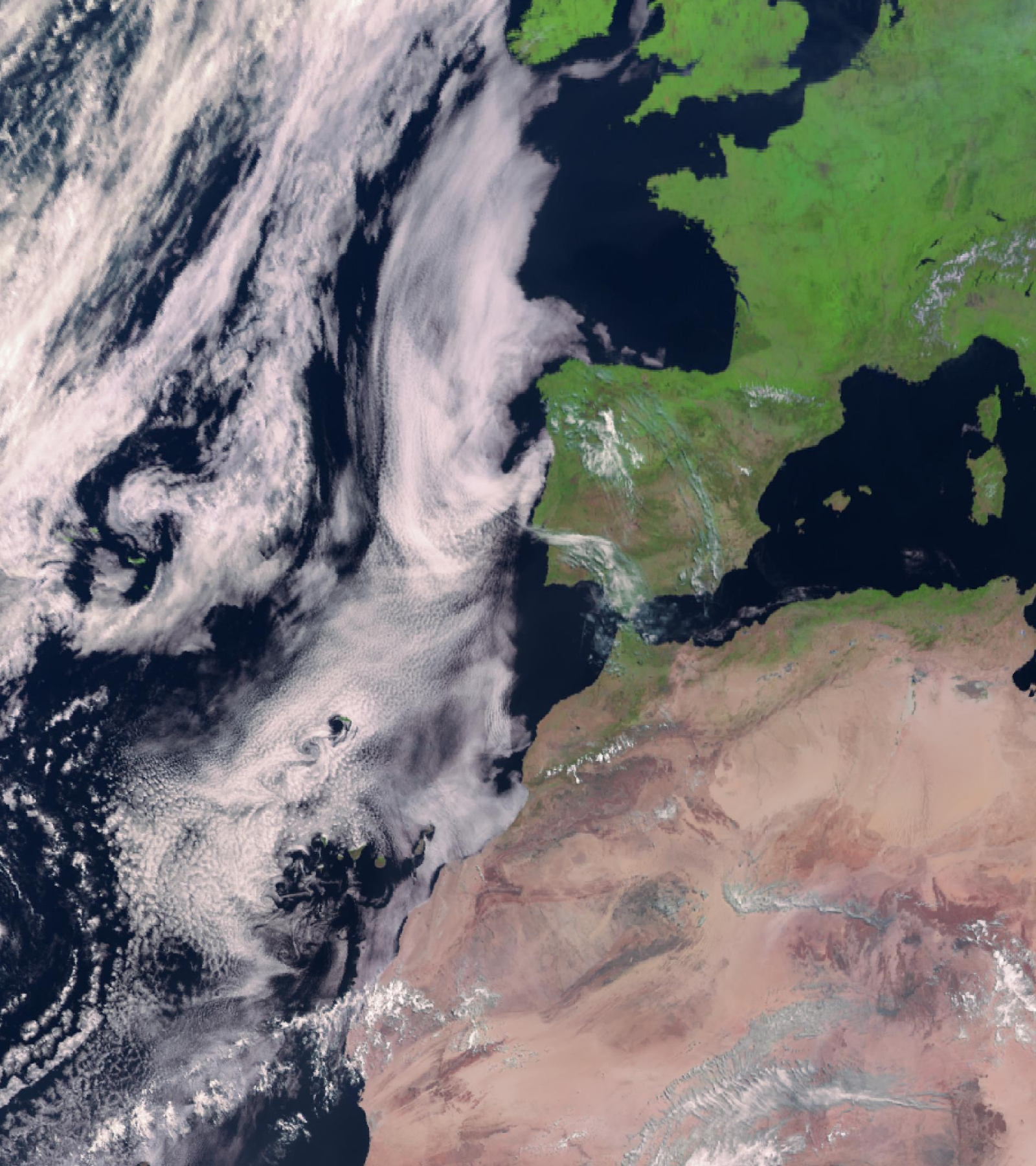 Satellite overview at 10:30 UTC showing widespread fair weather under high pressure.
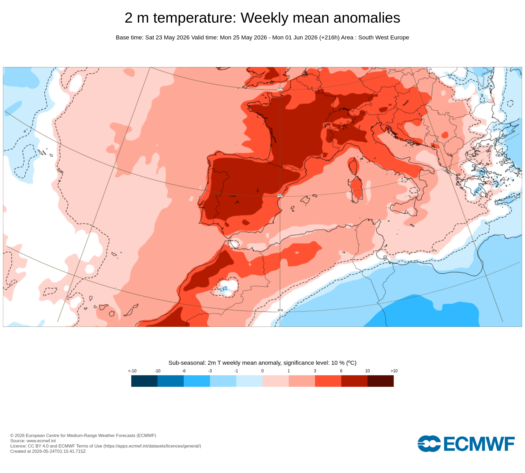 Week‑ahead temperature anomaly signal based on the 23 May run — warmer shades indicate above‑average conditions.
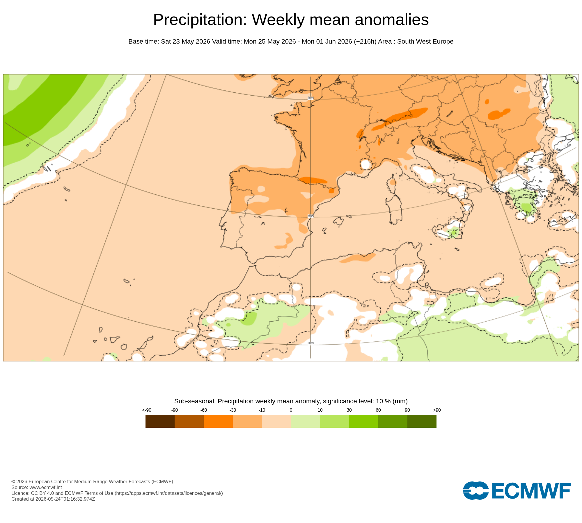 Week‑ahead precipitation anomaly signal — drier colours suggest below‑normal rainfall, with a wetter tilt near the Atlantic northwest.
Key takeaways
- Sunday–Monday (24–25 May): NW remains unsettled with afternoon storms; most other regions stay hot and dry. Calima affects the western peninsula at times and the Canary Islands, especially the eastern isles.
- Tuesday–Wednesday (26–27 May): The trough fills and moves away; showers become more isolated in northern mountains. Very warm afternoons continue in the south and Ebro valley. Strong easterly gusts may persist near the Strait.
- Late week: Broadly settled; the Canaries trend a little cooler midweek but can remain hazy.
Practical planning
- Outdoor work and sport: Shift to early/late hours; keep water and shade at hand.
- Travel: Expect generally smooth conditions, but watch for brief NW downpours early week and hazy horizons in the west/Canaries.
- Agriculture: Favour irrigation scheduling around hotter spells; monitor storm outflows in the NW for wind stress.
Spain Weather will update the outlook if the northwest disturbance lingers longer than expected or if heat signals intensify.