Europe's newest weather satellite, Meteosat-12, carries a Lightning Imager: a camera that watches for lightning flashes day and night, about 1,000 times per second. From today, Premium users see that lightning drawn right on the high-resolution satellite animation.
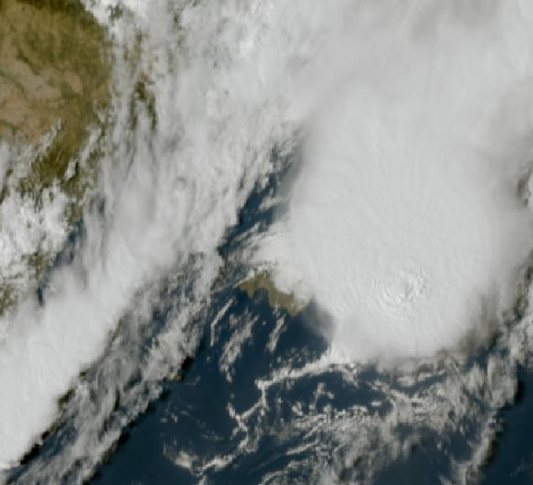
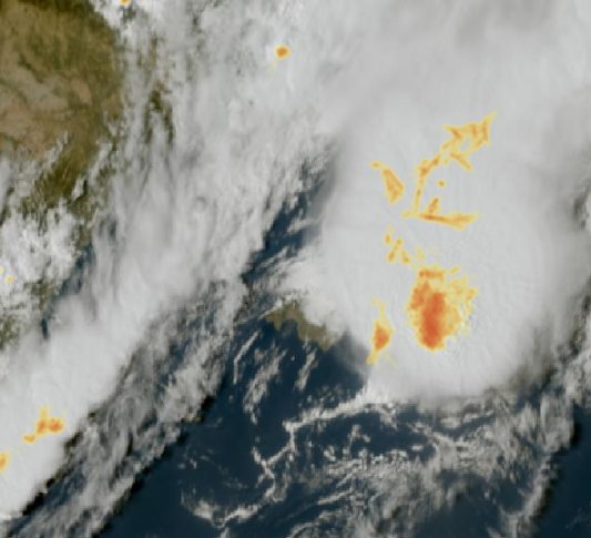
What you see
Each flash is drawn along the path it took through the cloud. Yellow marks scattered flashes, and orange to red shows the most active storm cores. Some flashes run for tens of kilometres through the top of the storm, and you can see them spread across the cloud.
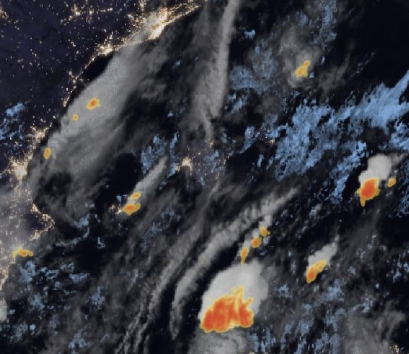
It works day and night. After dark, storms show up against city lights and the night-time cloud picture:
How to see it
You don't need to update the app. Open Satellite Animation High Res (Premium) and look for yellow and red on the clouds. The animation updates every 10 minutes, so you can watch thunderstorms build over the Balearics, drift in from the Atlantic, or flicker over the Sahara.
The lightning comes from the satellite with a delay of about 10 to 15 minutes and is for information only. For your safety, follow the official warnings from AEMET, which you also find in the app.